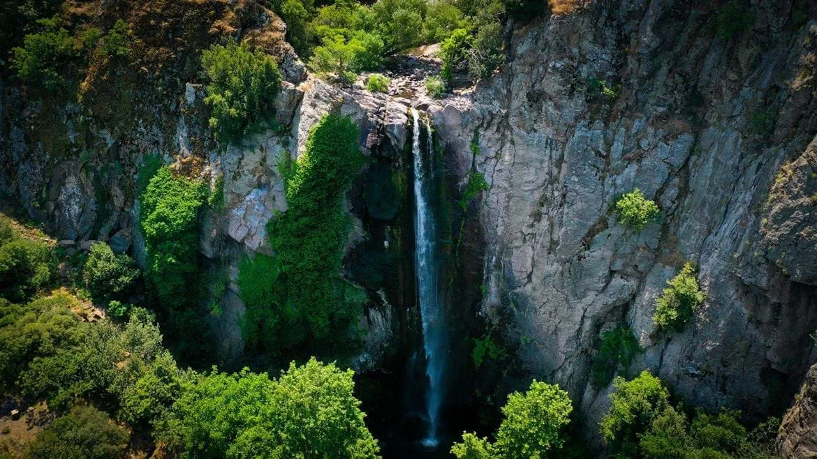
Su Uçuran Şelalesi
At a glance
- Setting
- Waterfall of about 40 m on the Ibrim Deresi stream
- Access
- Footpath approach from Turgutlar or Cukurkoy; official route from Cukurkoy 7.6 km, medium
About Su Uçuran Şelalesi
Su Uçuran Şelalesi, also known as Turgutlar Şelalesi or Suuçan Şelalesi, is a waterfall in the hills where Menemen, Aliağa and Manisa meet, about 7 km from the Turgutlar neighbourhood of Menemen. According to Menemen Municipality, the İbrim Deresi stream drops from a height of about 40 metres here, and the waterfall can be reached from Turgutlar in Menemen, Karakuzu in Aliağa and Türkmen village in Manisa. The final approach is on footpaths, which makes access harder, and the spot is popular for picnics, especially in spring. The İzmir Provincial Directorate of Culture and Tourism lists an official walking route from Çukurköy to the waterfall: 7.6 km on earth tracks and footpaths, rated medium, taking about 3 to 4 hours on foot, with November to April as the recommended season. OpenStreetMap maps both a larger and a smaller Su Uçuran fall a short distance apart on the stream.
Images
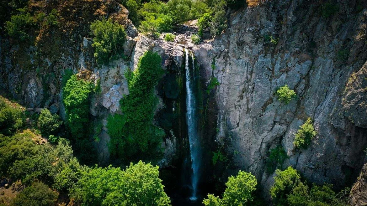
Image 1 of 1
Official sources
- Menemen Municipality - Su Ucuran SelalesiChecked 2026-11-11
- Izmir Culture and Tourism Directorate - Menemen walking routesChecked 2026-11-11
- OpenStreetMap - Buyuk Su Ucuran SelalesiChecked 2026-11-11
Pass it on
Share this page
Send this İzmir guide to someone who will find it useful.