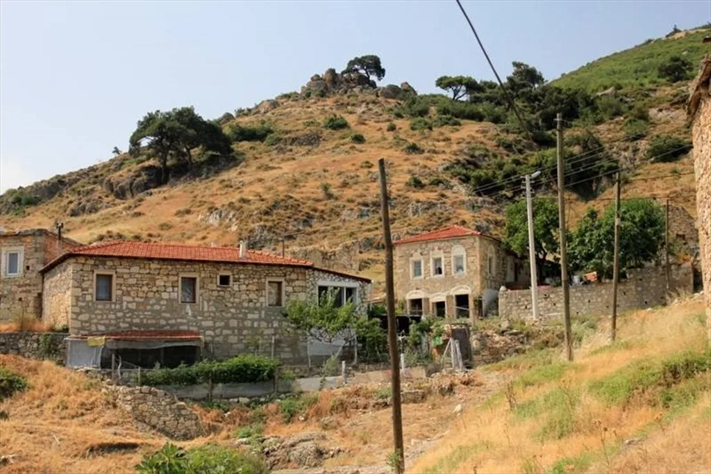
Kozbeyli Şaphane Tepesi Yürüyüş Rotası
At a glance
- Setting
- Hill path between Kozbeyli village and the Saphane fire lookout tower
- Access
- Official route 5 km on footpaths, rated easy, about 2 to 3 hours, all year
About Kozbeyli Şaphane Tepesi Yürüyüş Rotası
The Kozbeyli to Şaphane Tepesi walk is an official walking route in the Foça district. It climbs from Kozbeyli, a protected village on the northern slopes of the eastern part of Şaphane Mountain about 60 km from İzmir, to Şaphane Tepesi, where OpenStreetMap maps the Şaphane fire lookout tower. The İzmir Provincial Directorate of Culture and Tourism lists it as a 5 km route on footpaths, rated easy, taking about 2 to 3 hours on foot and suitable all year round. The same directorate lists a second route linking Yeni Foça and Kozbeyli, 7.3 km on asphalt roads, rated medium and taking about 3 to 4 hours, recommended from March to November. Outdooractive describes a Yeni Foça to Kozbeyli hiking route that stops for a break at the Şaphane fire lookout tower before continuing to Kozbeyli.
Images
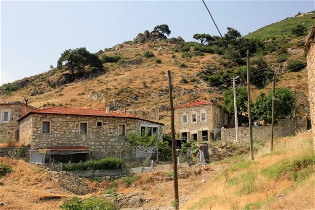
Image 1 of 1
Official sources
- Izmir Culture and Tourism Directorate - Foca walking routesChecked 2026-11-11
- OpenStreetMap - Saphane fire lookout towerChecked 2026-11-11
- Visit Izmir - Kozbeyli Urban Protected AreaChecked 2026-11-11
- Outdooractive - Yeni Foca to Kozbeyli routeChecked 2026-11-11
Pass it on
Share this page
Send this İzmir guide to someone who will find it useful.